
![]()
![]()
![]()
![]()
![]()
![]()
![]()
![]()
Part 6: Bishopbriggs to Whitecrook
The Forth & Clyde Canal is not a cycle route as such, cycling is tolerated on the canal towpath when the cyclist is in possession of a permit from British Waterways. That’s the official line, though I would very much doubt if British Waterways has ever asked anyone for a permit.
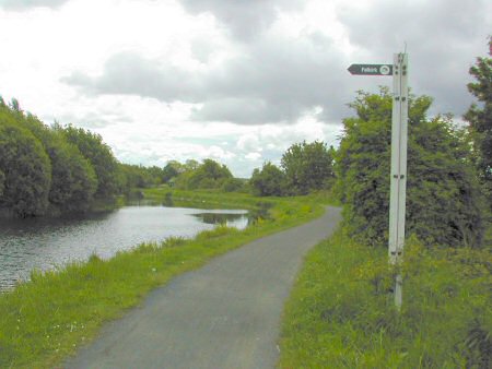
This review of the canal journey from Grangemouth to Bowling is broken down into seven parts for easy reference.
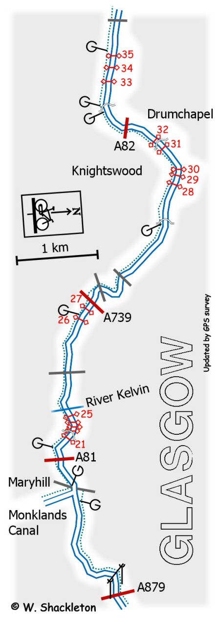
The Monklands Canal joins onto the Forth and Clyde Canal a short distance after the electricity sub station.
Monklands canal
The tow path, which so far has been on the north side of the canal, now changes to the south side. To cross over you have to follow the path down the embankment then go through the narrow tunnel under the canal and then up the embankment.
In its time the Monklands Canal was an industrial motorway, carrying goods and coal all the way from Airdrie into the city and beyond on the Forth and Clyde. Following its closure, the Monklands did not fare all that well over the years most of it has been reclaimed. There must be a trace of irony some where, that the course of the M8 motorway follows the line of the Monklands Canal through the city centre.
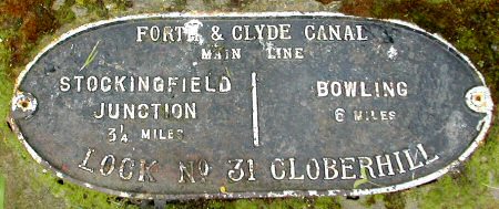
Distance marker
Shortly afterwards the canal starts its descent to the Clyde starting with Lock 21 at Maryhill. The River Kelvin passes under the canal for the final time in a steeply sided gorge. There is a section of cobbled tow path just after the Kelvin aqueduct to contend with, though mercifully it is a short section.